![]()
![]()
The first European settlers came to the area after the American Revolutionary War in the late 18th century and began surveying the land to begin building homesteads, mills, churches, and by the 1820’s the Welland Canal.
The St. Catharines Museum and Welland Canals Centre is helping us celebrate our 150th anniversary of being officially incorporated as a City with a weekly look back into our rich history from a diverse range of perspectives.
Surveys were carried out by teams of men fought the elements and geography to lay out the individual lots for settlement.
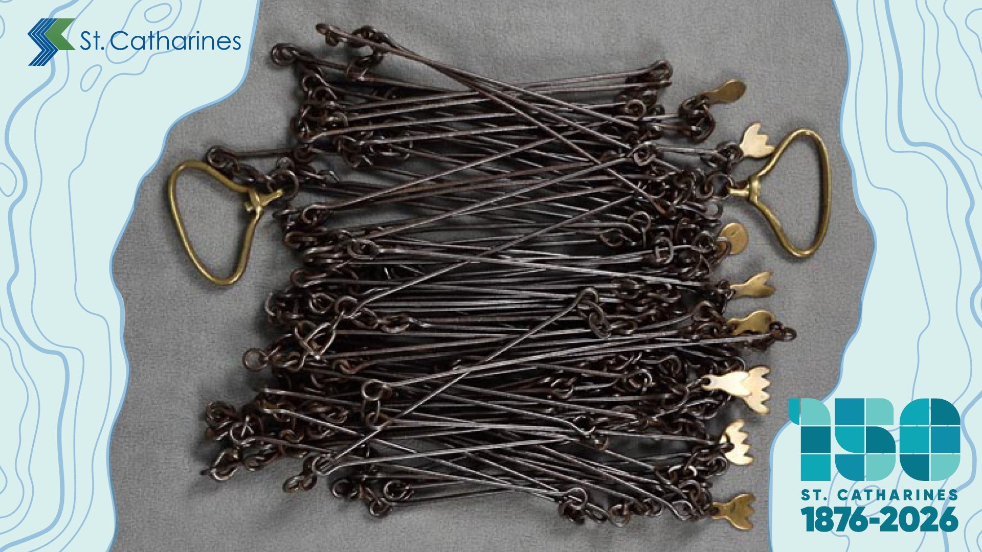
The surveyors measured out the land plots using a Guenther’s Chain. The full chain consists of 100 links which a total distance of 66 feet. The first survey of Grantham Township was laid out with lots parallel to the lake shore which resulted in roads that crossed at odd angles, a reality for anyone crossing the city today.
The photo above of a Guenther’s Chain in the St. Catharines Museum collection is similar to those used in the earliest surveys of Grantham Township. (1982.122.153.1)
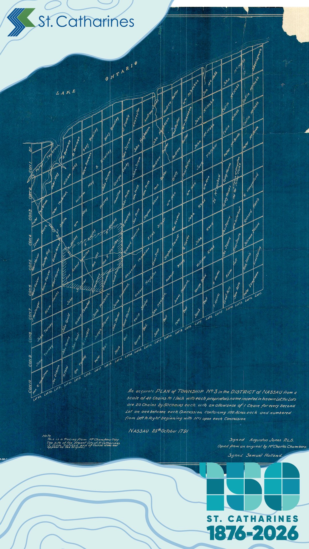
The map (at right) is a copy of one of the earliest surveys of the area, completed by Augustus Jones in 1791. The scale of the map is 40 chains to one inch. (X2013.80.1)